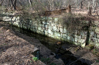
The Schuylkill Navigation was often called the Schuylkill Canal even though it was a system made up of numerous canals alternating with slackwater pools behind dams. It was built by hand starting in 1816 by the private Schuylkill Navigation Company, to tame the Schuylkill River from the mountainous anthracite coal region all the way to tidewater at Fairmount in Philadelphia, PA. This website, sponsored by the Fairmount Water Works, brings together historic and contemporary material about the Navigation, including little-known papers and important maps. Many modern accounts of the Navigation have said that there isn't much left of it, but we spent six years exploring, and there's plenty left.
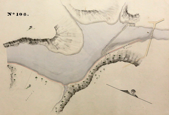
Above: Fairmount Canal and Locks, from an 1827 map book titled: The following maps of the Schuylkill Navigation are designed for the President Managers and Company from Actual Survey by T. H. Gill MDCCCXXVII
There are 108 pages in this map book, one for each mile of the Navigation. The original of this book resides in the Pennsylvania State Archives in Harrisburg. More 1827 Gill maps can be found in our Canals & Locks pages. Map photographs by Sandy Sorlien.